
Sunday, February 9, 2025
The phone rang before 8am in our room. What? We were up, but still. What? It was the front desk telling us that we had coupons for free breakfast buffets that they had forgotten to give us. Fun.
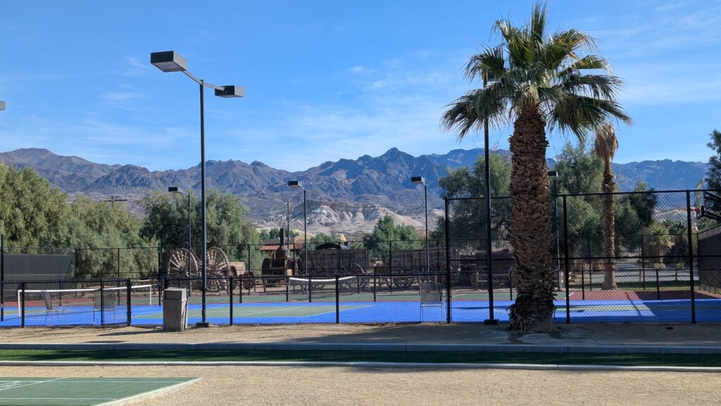
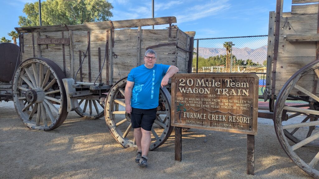
Keith made a plan while I showered and got ready. We buffet-ed and bought me tumbleweed earrings. We walked around the resort and looked at the big equipment from the mining museum.

We went to the Borax Museum.
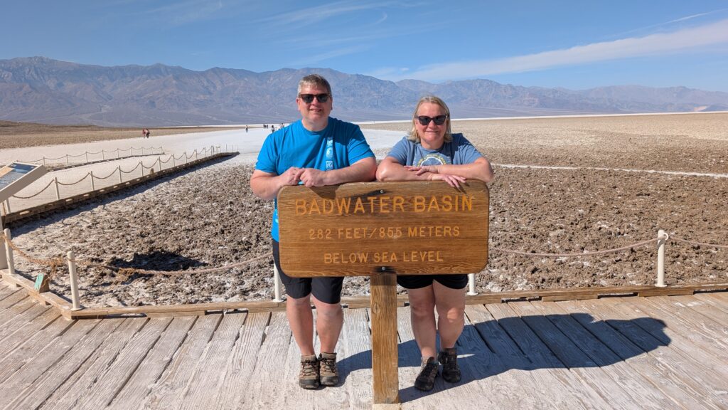
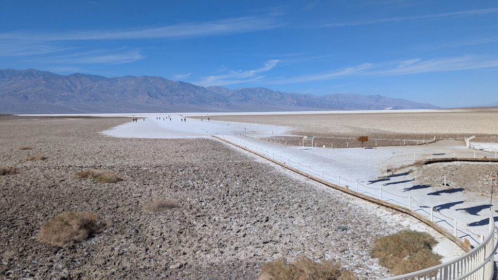
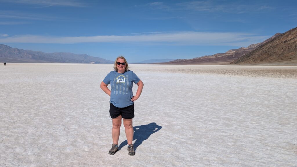
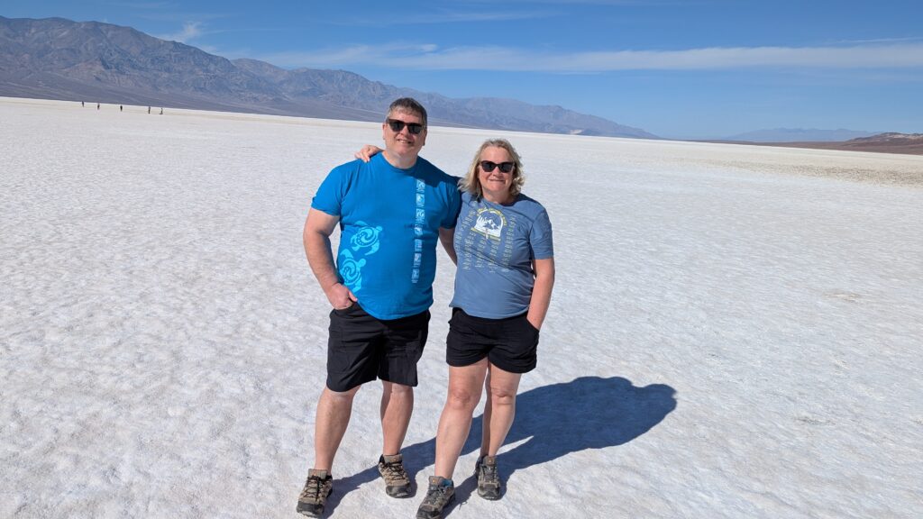
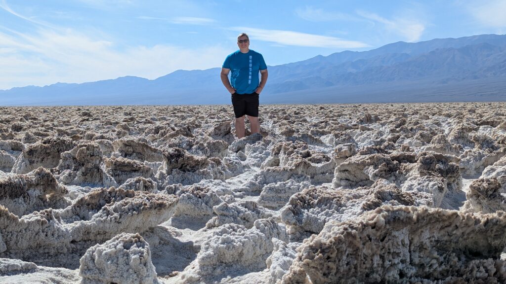
We decided that we wanted to go to see the volcanic crater on the north side of the park. It would take about an hour to get there, and we could do some of the closer things as we went and when we got back. Before the big drive, I said we had to go to Badwater – the lowest point in North America. It seemed like the must do thing, so I said better first than not getting to it.
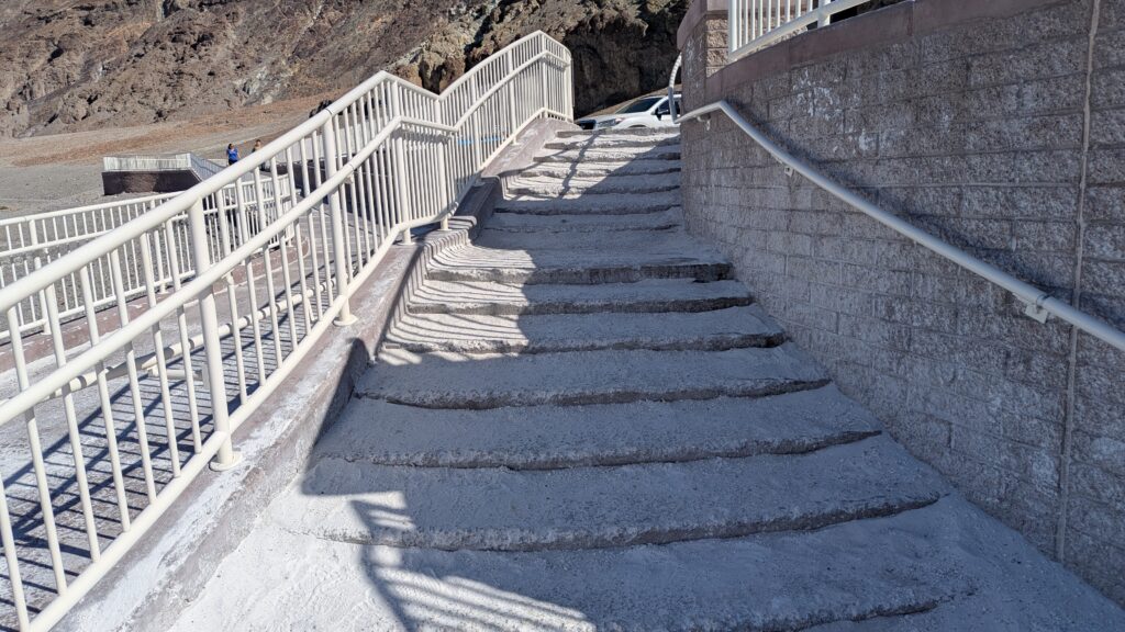
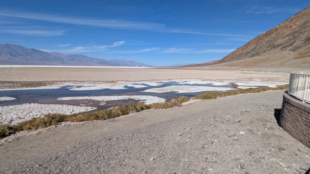
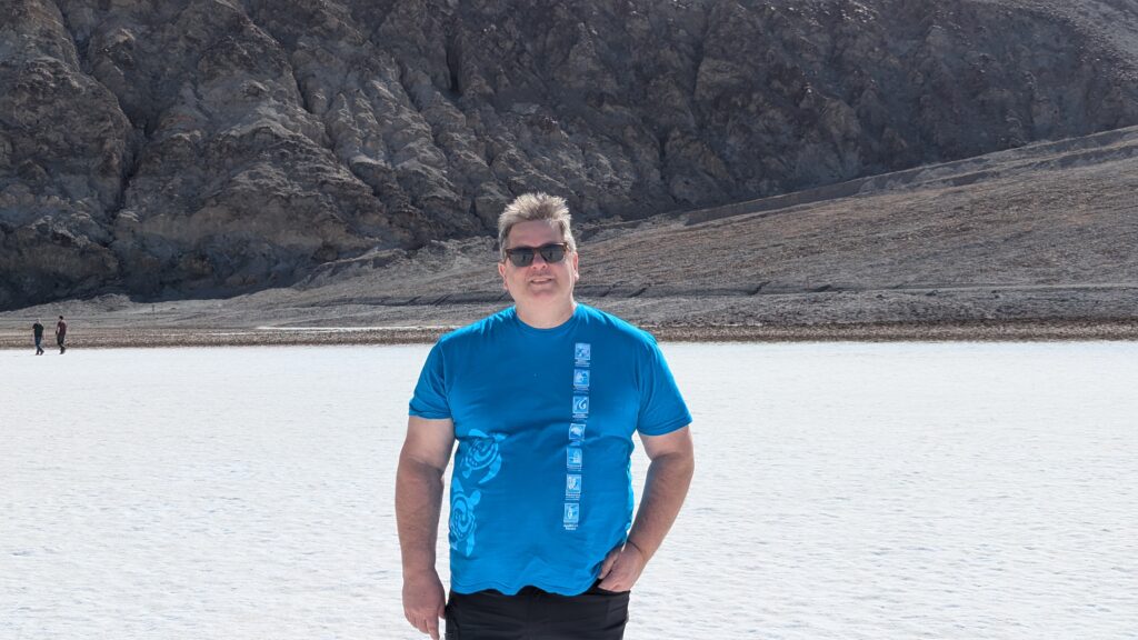
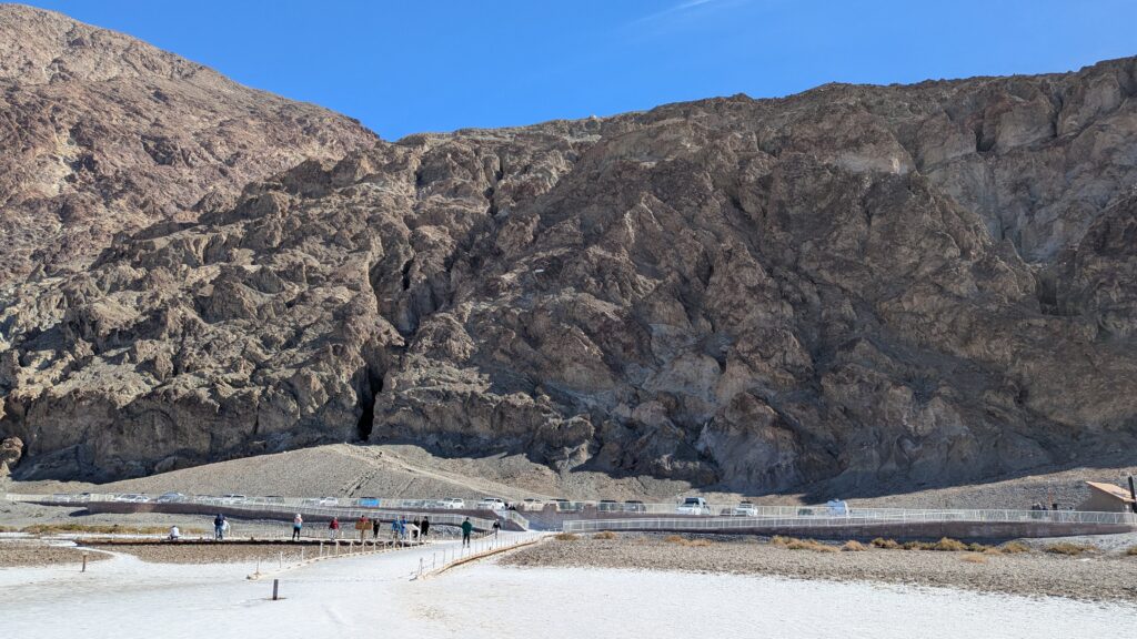
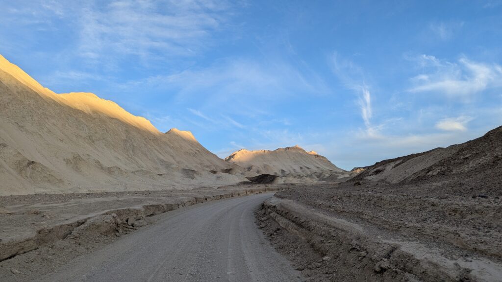
It is called Badwater, because one of the first people to stop there said it was so because his donkey wouldn’t drink there. He didn’t know why, but it was because it was very salty – because it is now a salt flat. We walked out, with everyone else. I had read that it was a great place to take pictures. I wondered what I was supposed to take a picture of. I took lots of pictures of everything. People walked way way way farther than we did. We wondered if anything changed when you got farther out, other than you were farther out. You would have farther to walk back. We walked back. Look at the picture of going back. About halfway up the cliff there is a little sign. It says, “Sea Level”. We were low.

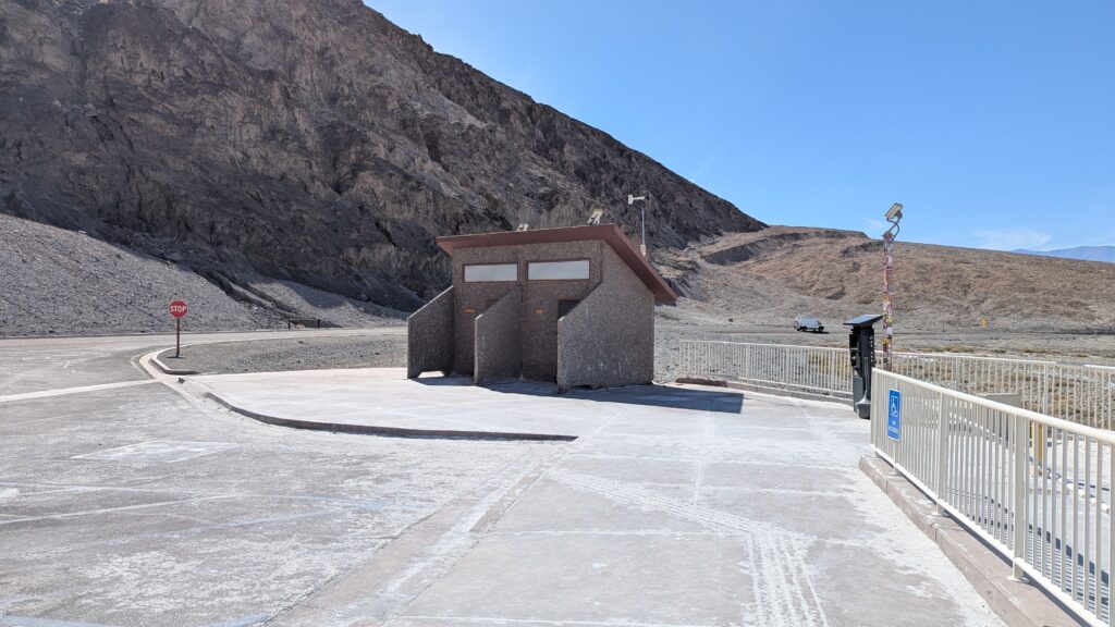
It is important to have restrooms, even if they are not modern. These buildings smell awful. As we hurried away, Keith said, “Imagine what it’s like when it’s 134 degrees!” Ahhhhhh.
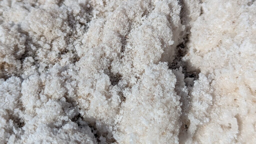
We stopped at Devil’s Golf Course. It had way more interesting salt – quote Keith, “Oooo it’s sharp.”

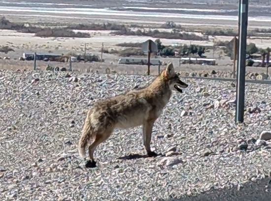
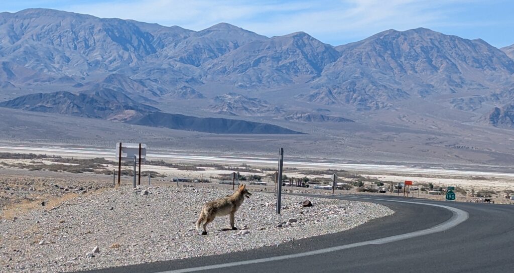
When we got back to our corner there was a coyote waiting for us. VERY exciting. More exciting than low salt. (I saw one in our cul-de-sac last summer. Exciting no matter when or where.) (Yes three pictures, because I was very excited.)

On to the crater.
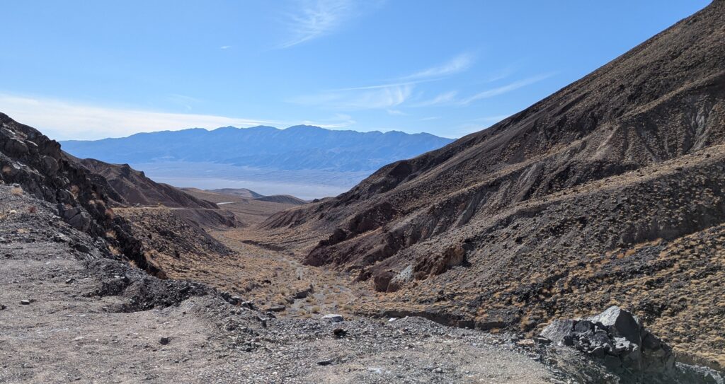
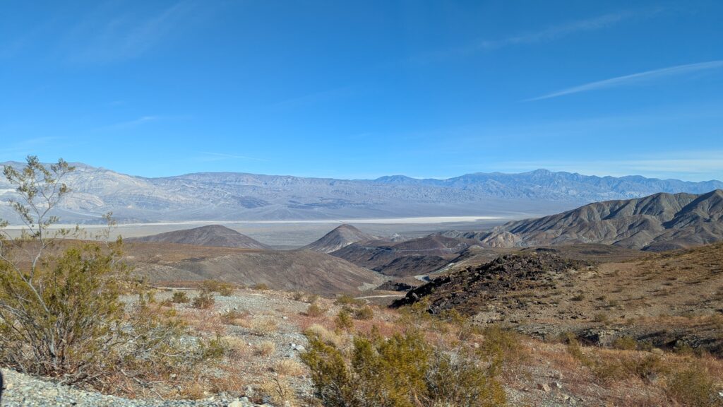
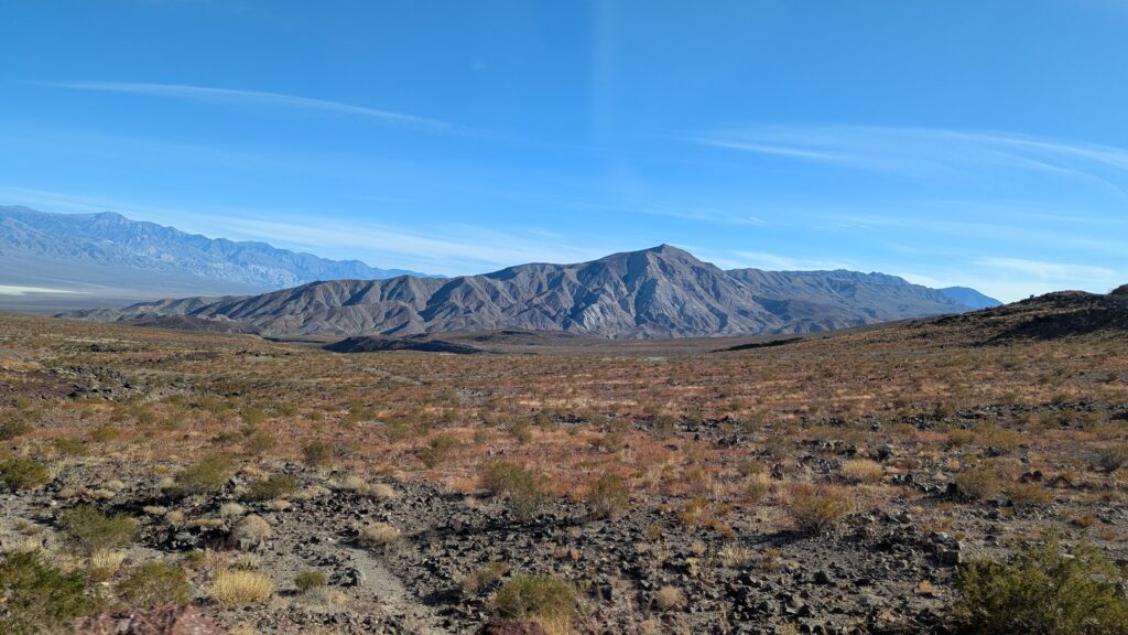
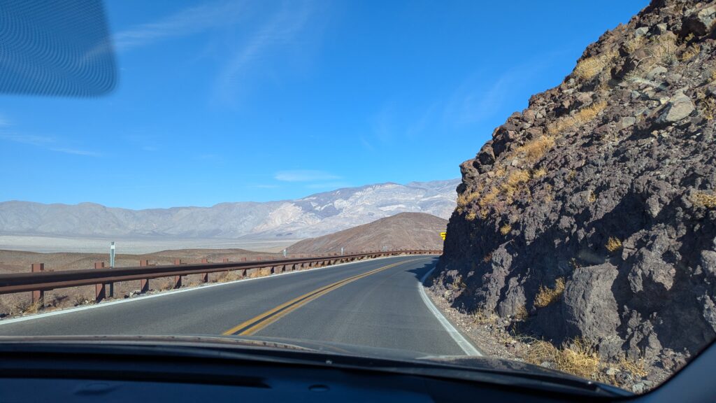
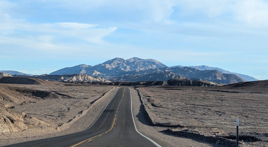
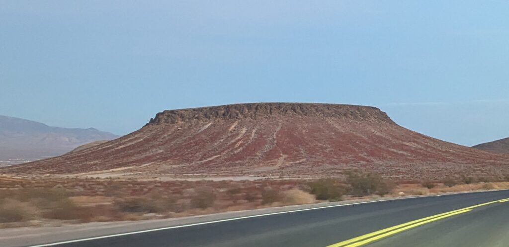
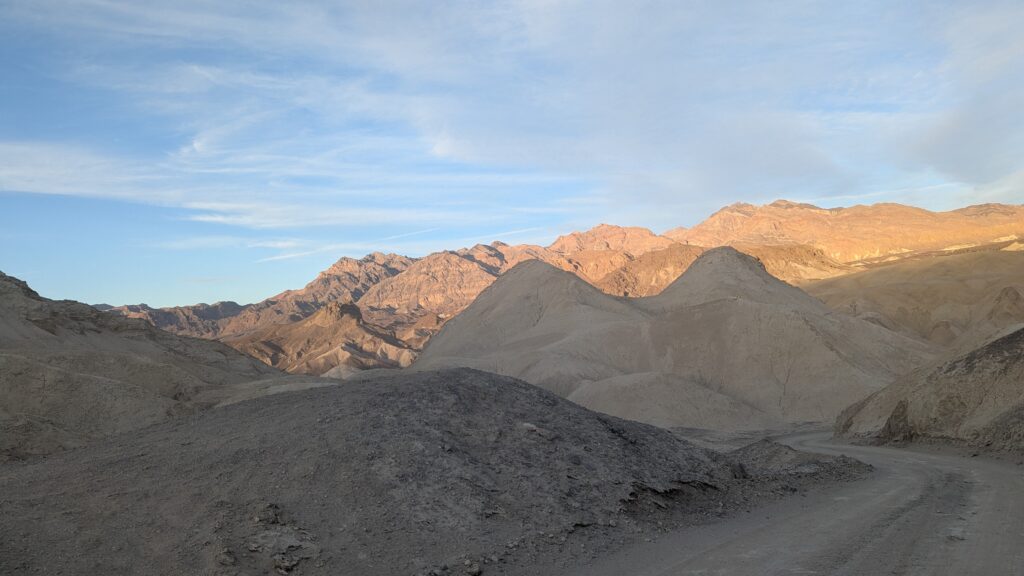
It was just beautiful everywhere you looked. I took a lot of pictures out the window. They are all lame. Nothing comes close to looking as good as it actually did. That doesn’t mean I am not going to add 100 pictures to this post. I’m just saying that they are lame. I thought the rocks in the picture above looked like castle ruins.
Keith kept talking about going past Stovepipe Wells, a little town on our way. We finally did. It was a small town. I wonder about people who live in a tiny, tiny town in the middle of Death Valley. What’s their deal?
I fell asleep for ten minutes and woke up and the world looked different. We were very HIGH in the hills (4956 ft elevation) and heading down. I could see glimpses of a flat, straight road going across the canyon floor as we wove in and out of the hills. Keith thought we were headed there, which made no sense because I thought the crater was in the up. We dropped down and down until yes, we were indeed on that flat, straight road. I mentioned we had been driving for more than an hour, and now, apparently, we had to go up on the other side of the canyon. Keith agreed it was taking a while.
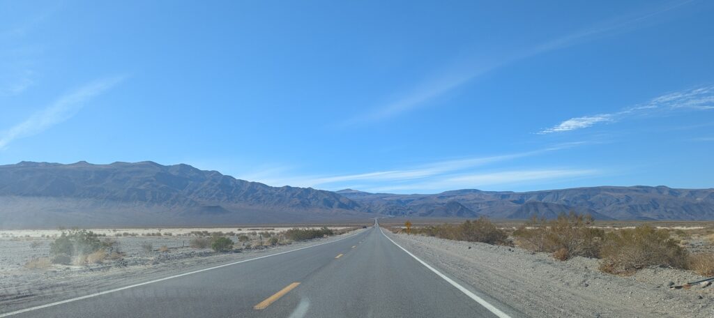
We started to climb again. After a bit, we went through Panamint Springs and Keith asked if I had any signal to check the map. When we left the hotel in the morning, I had said how glad I was that there was no GPS in the park and we would just be quietly be driving by map and sign – like the good old days (put not the good old days with getting stuck in the HEAT with a wagon pulled by oxen) (those were bad old days). I got enough from my phone to say that we were getting close to Sequoia National Park. Keith said that wasn’t right, we should be going north not west. I said, Well….we aren’t. He said he was afraid he’d taken a wrong road, although there really weren’t ANY wrong roads to take. He kept driving. I crabbed at him to pull over (we were constantly passing cars pulled off on the shoulder – no one around them. Hikers? Ghosts? Who knows. Anyway, you can stop anywhere) if he thought we might be lost. We consulted maps and indeed, we were going entirely the wrong direction and had been for an hour.
Whoops.
Apparently, when he consulted the map in the hotel room this morning, he looked it, ascertained that all of these places were in California, and assumed the GPS person would tell us where to go, like always. That is how he does going. He just goes and trusts the voice to be right and to give him enough time to get into the correct lane to exit and stuff like that. I do not. I read a map (even if it is on my phone) and figure out where I am going. I let the GPS person give me a heads up when turns are coming and confirm I am going the right way. My way is better. (That may be an opinion). So, we had been supposed to turn off long before we got to Stovepipe Town. Keith thought Stovepipe Town was on our way because it was on the map. He felt very bad. I did not because it seemed a reasonable mistake. There had been no sign that said CRATER THIS WAY. (We checked on the way back. Nope. Nothing). The road we were supposed to have turned on wasn’t even labeled with a name, so, really, it was their fault. Stupid National Park.
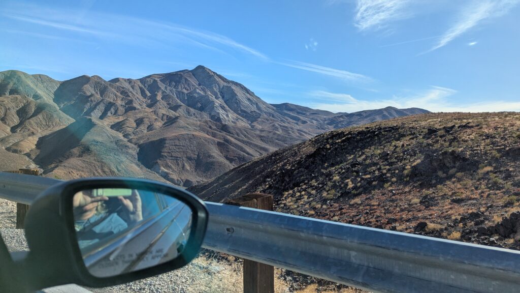
We decided to keep going to the farest away part of the park, Rainbow Canyon. It was all fine until we were 5000 feet up again, but this time we were on the edge of falling down a cliff. I was not doing well. The map showed just a tiny bit of road after Peppermint Springs and we were going and going and going, and Keith kept wondering aloud if he had missed another turn, and I was thinking, ‘AND WE HAVE TO DRIVE BACK!!”
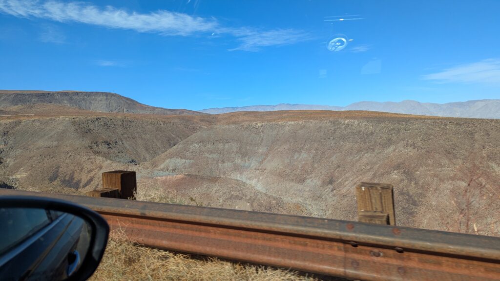
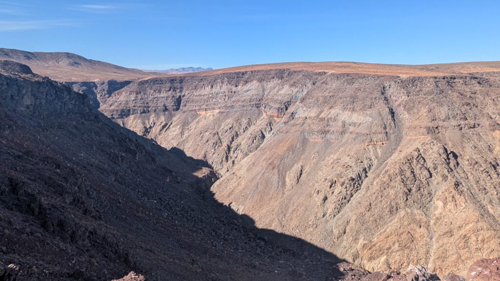
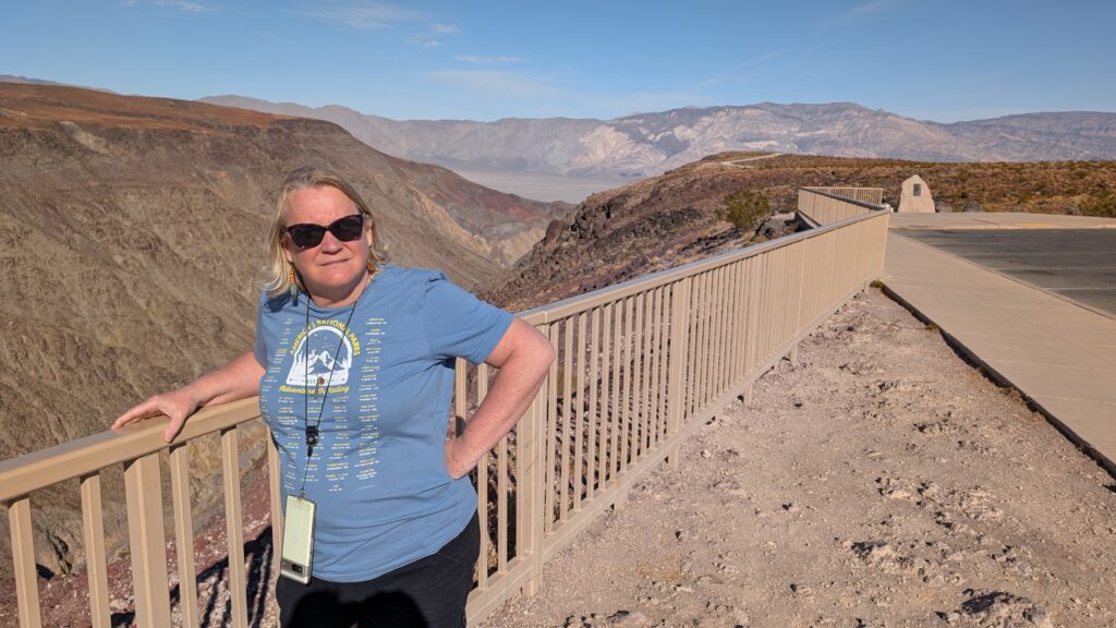
Just when I thought I couldn’t hang on the side of a cliff anymore, we got there. I cried. I had been so afraid and so afraid to make noise that would distract Keith and plunge us through the guardrail I just fell apart. It didn’t last long. I got out to see the glories of the rainbow rocks we had come so far for.
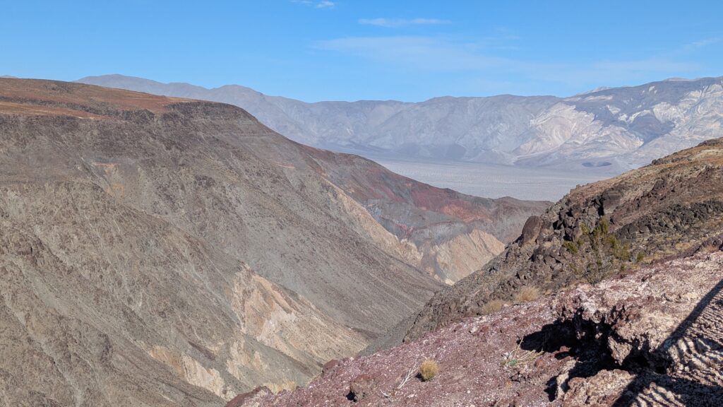
Pretty lame after being so afraid.
Very disappointing.
Some people thought that was hilarious. Actually, both people did.
One of the breaks we had driving through the terror was that we were alone. No one ahead. No one behind. If we needed to go slow, we could. It was great. With three minutes of parking, there were half a dozen cars there. Where did they come from? Total mystery.
Going back was not scary because we were on the not-cliffside. We were no longer lost. Everything was fine.

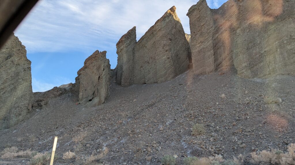
Doesn’t this one look they cut down a GIANT tree?
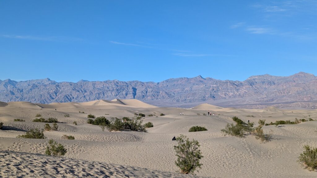
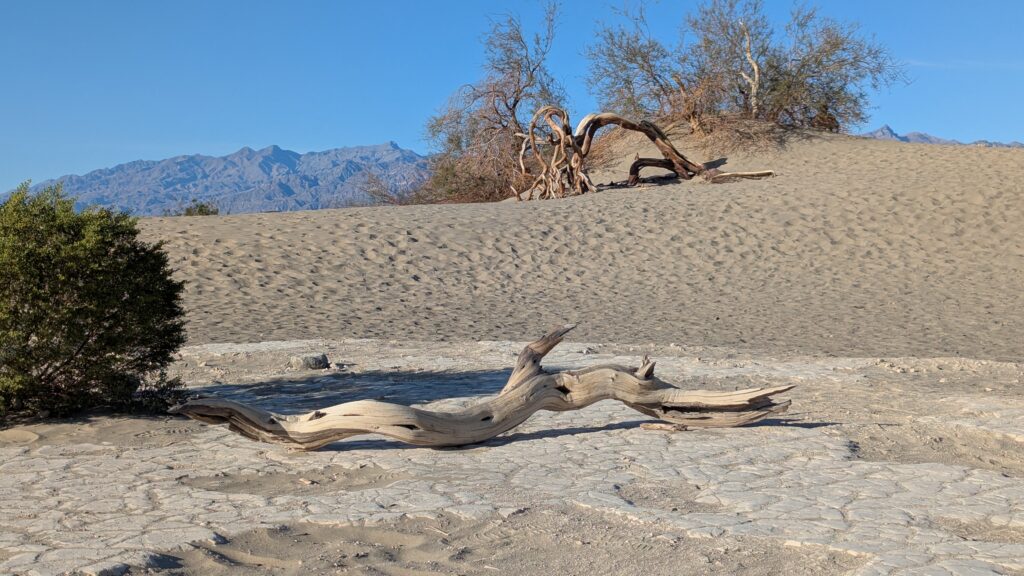
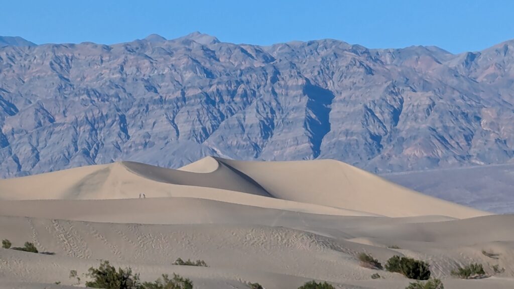
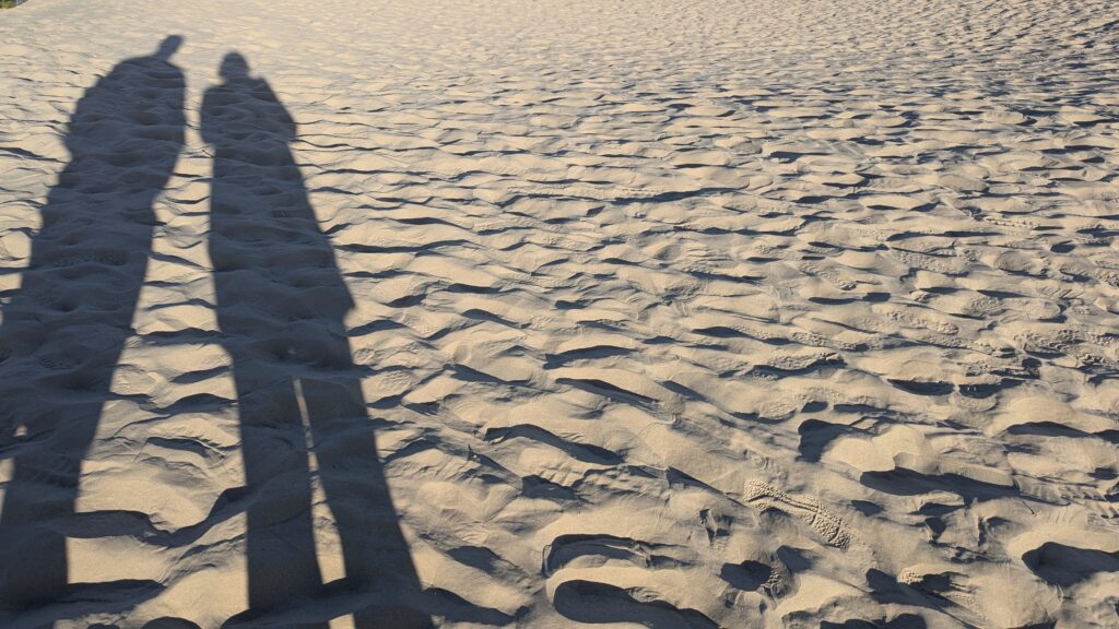
We went to the sand dunes. There are sand dunes. Why? I have no idea. It was the softest sand of ever. EVER.
This last one looks like Eza Graw (which is just for my boys to understand).
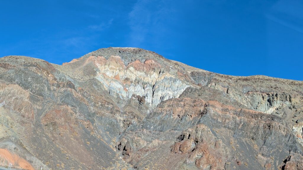
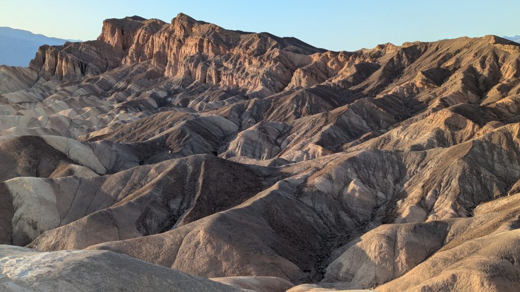
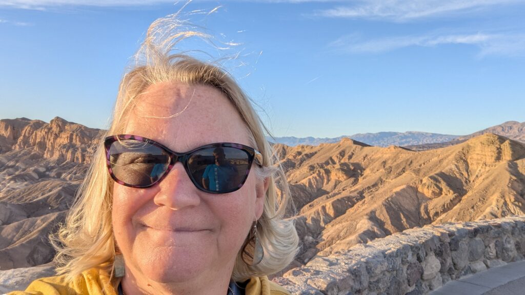
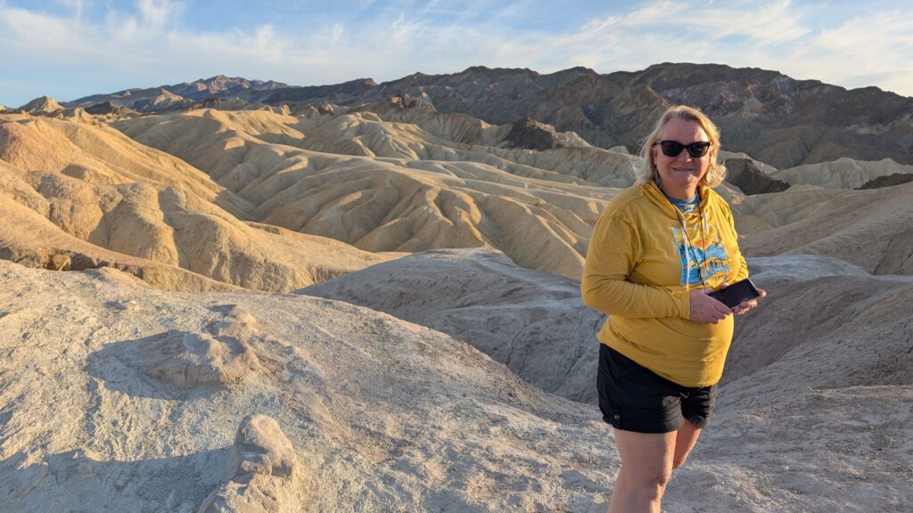
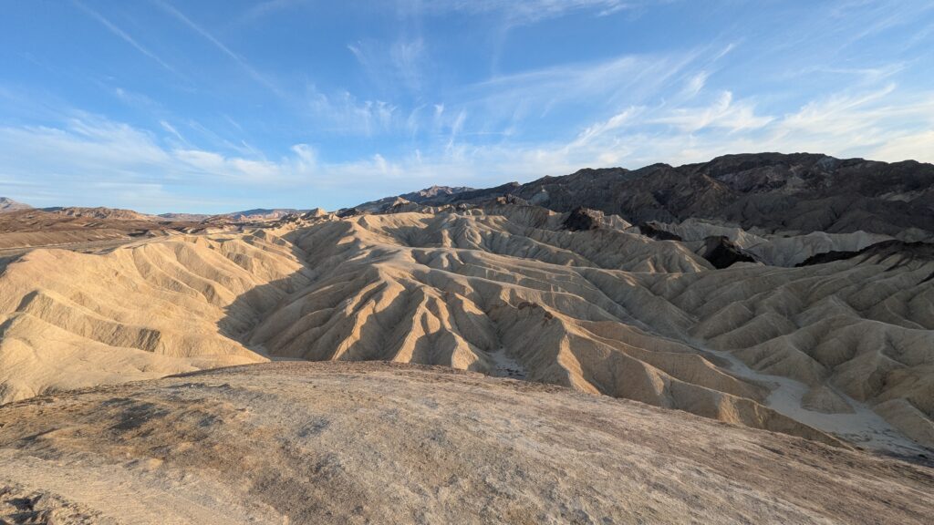
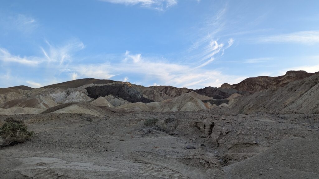
We stopped at Zabriski Point, which was beautiful.
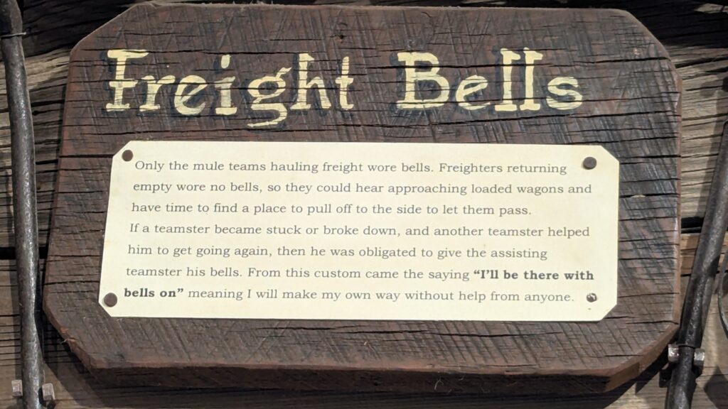
We read that 20 Mule Team canyon was terrific. (I had a period of time today that I could not say mule. I said mool. Mool team. I was stuck. It made me laugh and laugh). The internet guy said it looked lame and he was going to skip it, but he didn’t and it was GREAT. We agreed. As with everywhere else, we were alone and it was glorious.
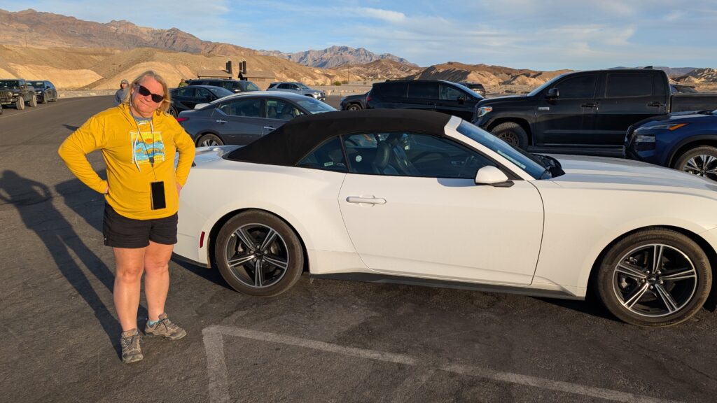
Keith told me we could have had a Mustang convertible for not very much more money. He said it was too cold. I said it is never too cold for a convertible in a national park. A little old lady with a scarf drove this one away.
The best part of my morning is going on a road trip with you, without being in a car. Thanks for telling such a wonderful story!!
That is so sweet of you to say. Thank you ♥️
I totally and absolutely agree with Carla…
You are so sweet, too! Thank you ⛰️🌵♥️
Yep, the view was high enough from my couch:)
I kept thinking of you while we were driving – glad it didn’t happen in Hawaii!